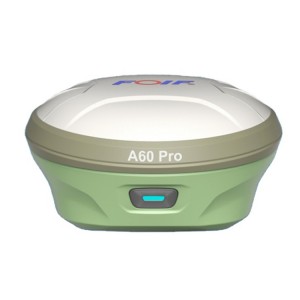
Lisebelisoa tsa ho Lekola Foif A90 GNSS Gps Rtk
Lintlha tse ka Sehloohong:
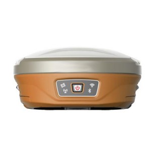
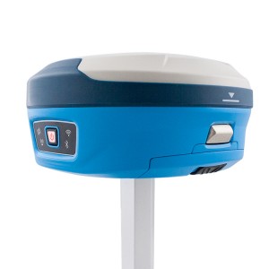
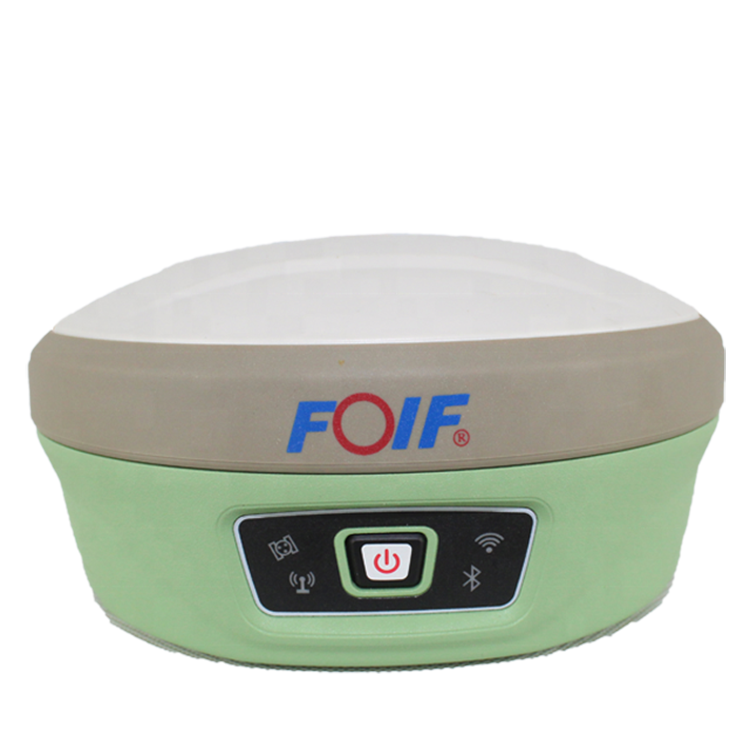
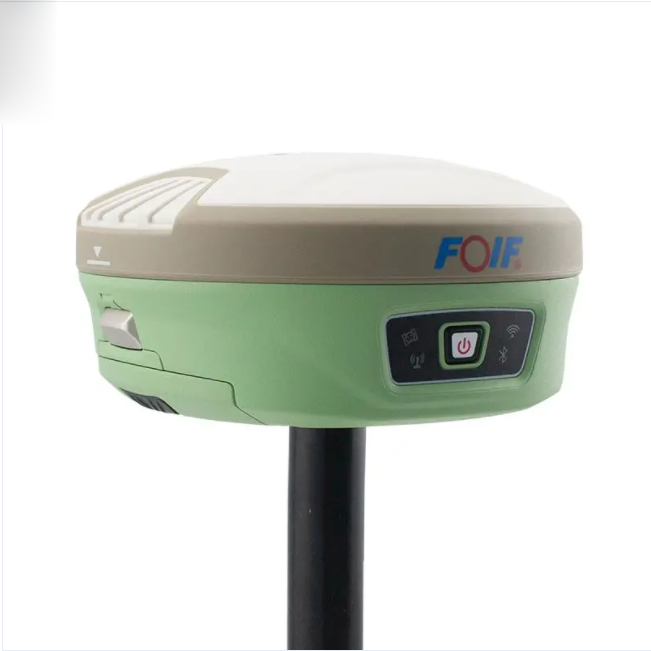
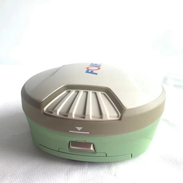
1) Smart Design
Ka tlhokahalo e ntseng e eketseha ea moralo o bohlale oa GNSS, ho nts'etsapele moamoheli o hlahisitsoeng ka miniaturization e fetoha sepheo sa rona se secha ho fihlela kajeno se phethahala.Ha ho pelaelo hore boholo bo nyane le boqapi bo bobebe bo ka fokotsa haholo mosebetsi o akaretsang oa tšimo le ho ntlafatsa tlhahiso haholo.
2) Khopolo e ncha:
Mabapi le sistimi ea mehala ea mehala le e se nang mohala, re tloaetse ho hlahisa boqapi bo eketsehileng sehlahisoa sa rona.Ntle le sete ea bluetooth, radio radio le mobile network, re tlisa ts'ebetso ea WIFI e atolosang likhokahano tsa data bakeng sa GNSS.
3) Ts'ebetso e ntle haholo:
E kenyelelitsoe ka mojule oa GNSS o nang le kutloisiso e phahameng, A90 e ka kenya tšebetsong lipatlisiso tse kholo:
RTK, DGPS, (SBAS) , Static, joalo-joalo.
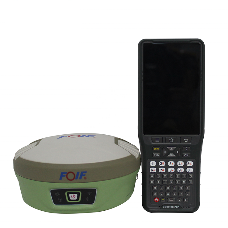
Carlson SurvCE/FieldGenius/Esurvey/SurPAD
Surpad Software Professional, e bonolo ebile e sebetsa hantle
Selaoli sena sa data sa RTK Field Software se entsoe le ho ntlafatsoa ke sehlopha sa boenjiniere ba R&D ba software, se u tlisetsang tekanyo e nepahetseng, e hlakileng le e sebetsang ea boiphihlelo bo bocha.Software ea ESurvey e kopanya tlhahlobo ea kaho, tlhahlobo ea matla, pokello ea lintlha tsa GIS yuniti e le 'ngoe.Software ena e lumellana ka bobeli le Windows Mobile le Android sethaleng, e boetse e tšehetsa bohlale fono ho sebelisoa e le ya data molaoli.
1. Patlisiso ea Matla
Khetho ea mela, tekanyo ea sefapano, tlhahiso ea 4-D Data Format.
2. Tlhahlobo ea litsela
Moralo oa litsela, Middle Side Stake Layout, cross section survey.
3. Base Map Loading
Ts'ehetsa ho kenya data ea vector joalo ka DXF, SHP le GCP.
4. Pokello ea GIS
Ts'ehetso ea Ho Bokella Lintlha ka Bukana ea boitsebiso e Itlhaloselitseng le mokhoa oa phapanyetsano oa thepa ea GIS.
5. Post Processing Software GGO
Ts'ehetso ea ho fetolela sebopeho sa data ho RINEX, e tsamaellanang le AutoCAD le Software e meng ea Drawing & Mapping.
| Mohlala | A90 | |
| GNSS | Likanale | 800 |
| Lipontšo | BDS: B1, B2, B3 | |
| GPS: L1CA, L1P.L1C, L2P, L2C, L5 | ||
| KHANYA: G1,G2, P1, P2 | ||
| GALILEO: E1BC, E5a.E5b | ||
| QZSS: L1CA.L2C.L5, L1C | ||
| SBAS: L1CA, L5; | ||
| L-Band | ||
| Ho nepahala | E tsitsitseng | H: 2.5 mm±1ppm, V: 5 mm±1ppm |
| RTK | H: 8 mm±1ppm, V:15 mm±1ppm | |
| DGNSS | <0.5m | |
| ATLAS | 8cm | |
| Tsamaiso | Nako ea ho Qala | 8s |
| Ho qala hoa Tšepahala | 99.90% | |
| Mokhoa oa tšebetso | Linux | |
| Thabo | 8GB, tšehetso e ka atolosoang ea MisroSD | |
| WiFi | 802.11 b/g/n | |
| bluetooth | V2.1+EDR/V4.1Dual,Class2 | |
| E-Bubble | tshehetso | |
| Tilt Survey | IMU Tilt Survey 60°,Fusion Positioning/400Hz sekhahla sa ho khatholla | |
| Sehokelo sa data | Audio | tšehetsa TTS mamelwang kgaso |
| UHF | Tx/Rx Radio ea ka hare, 1W/2W e fetolehang, tšehetso ea seea-le-moea 410-470Mhz | |
| Protocol | tšehetsa GeoTalk,SATEL,PCC-GMSK,TrimTalk,TrimMark,SOUTH,hi target | |
| Marang-rang | 4G-LTE, TE-SCDMA, CDMA(EVDO 2000), WCDMA, GSM(GPRS) | |
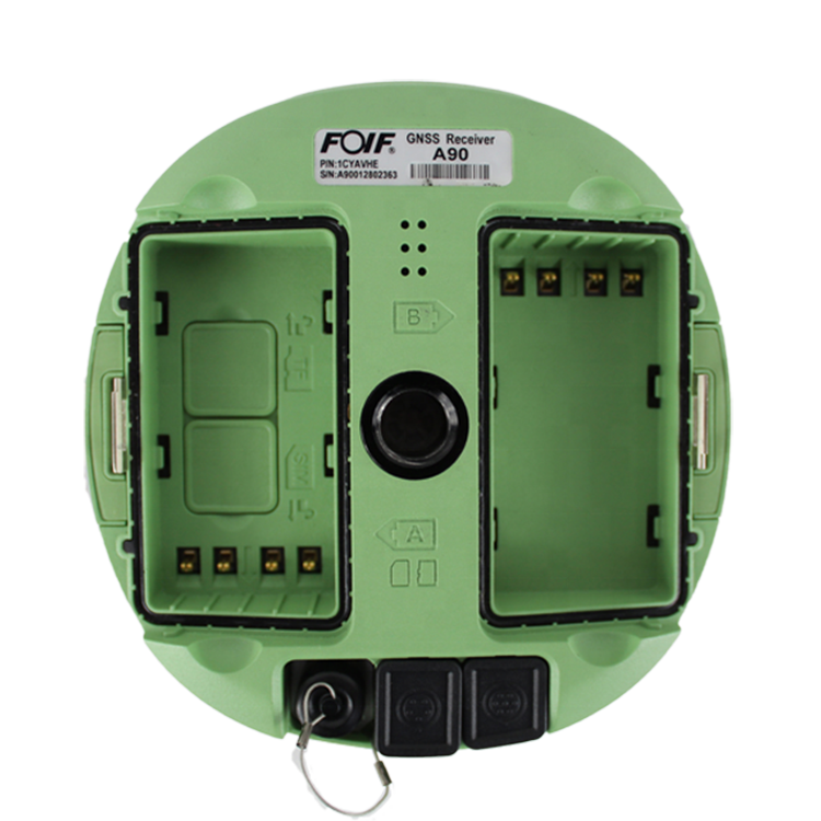
| Ea nama | Sehokelo | 1*TNC Radio Antenna, 1*5Pin(Matla & RS232),1*7Pin (USB 81 RS232) |
| Konopo | 1 Konopo ea Matla | |
| Leseli la Pontsho | 4 Mabone a Pontšo | |
| Boholo | Φ156mm * H 76mm | |
| Boima ba 'mele | 1.2kg | |
| Phepelo ea motlakase | Bokhoni ba betri | 7.2V, 24.5Wh(libetri tse tloaelehileng tse peli) |
| Sebali sa nako ea bophelo ba betri | Patlisiso e tsitsitseng: lihora tse 15, tlhahlobo ea Rover RTK: 12h | |
| Mohloli oa matla a kantle | DC 9-18V, e nang le tšireletso ea overvoltage | |
| Tikoloho | Mocheso oa Mosebetsi | -35 ℃ ~ +65 ℃ |
| Mocheso oa ho Boloka | -55 ℃ ~ +80 ℃ | |
| e sa keneleng metsi le lerole | IP68 | |
| Mongobo | 100% e khahlanong le condensation | |